F.A.Q

Buying Guide for GNSS / GIS equipment

Findings: Considerations:
  • The user needs vary greatly
  • The software is important to the GPS / GIS solution component
  • Receiver and satellite technology is changing
  • Budget
  • Precision
  • Which Hardware equipment
  • With which application?
There is not a direct relationship between cost and precision
GPS + ‘Data Collector’ + training + service = total cost of the equipment

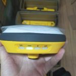
GPS and more! A receiver is it the only solution readings?

The accuracy of a GPS is a delicate subject: Offset points or another:
  1. It is influenced by the quality of the receiving
  2. It is influenced by the local environment (canopy, buildings, land)
  3. It is influenced by the methods of measurement.
  4. It is potentially influenced by errors related transformations datums

GPS is not always accurate or complete solution.

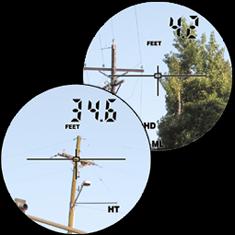
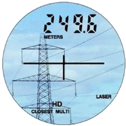
  1. information_produit_telemetre_laser_trupulse_2_0003 (Custom)Laser Solution, Remote seizures points
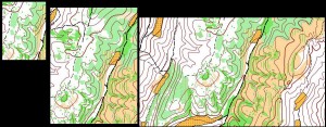
  2. Aerial Solutions (photogrammetry, satellite imagery, lidar).
Select the right equipment:
The selection should be based on the budget, the accuracy, the need for data collection and the collection environment.
In some cases it is necessary to adjust the requirements in the budget.
It is important to consider the potential scalability of the hardware

All integrated receivers or ‘stand-alone’?

All integrated DGNSS DGNSS in ‘stand alone’ + +
Select the right equipment:
In an IT environment constantly changing,
A modular and scalable hardware is a plus!

Offset GPS points?

marketinsights_sc_063009_eg_12_0003 marketinsights_sc_063009_eg_12_0005
GPS, not everywhere … The deported seizures GPS points may be necessary … and faster!

Real time or post processing?

Post treatment: Global coverage, decimeter or centimeter possible, relatively expensive or tedious!1 – differential correction after data collection
2 – Global Coverage
3 – Some receivers with an accuracy of 3-5 meters real time are capable of sub metric precision using the post treatment.
4 – Software and training are neededCollection Software: Considerations1 – data collection capability and productivity
2 – Compatibility with the company’s GIS software
3 – Compatibility with the hardware (Windows Mobile, CE, XP, Seven, Linux, Mac, iOS)
4 – Customization of collection software
5 – Price
Real Time = reduced cost, easy, cheap a level sub – meter, decimeter or centimeterSBAS

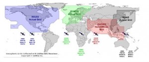
Real-time differential sources:

1 – SBAS (USA – WAAS, Europe – EGNOS, Japan – MSAS, etc.
2 – Radio Beacon (RTCM)
3 – Omnistar
4 – RTK correction Business Services (subscriptions, dependent on conditions other GSM or blankets) to the decimeter or centimeter

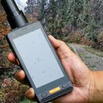
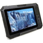
The screens of the “field terminals”

screen
Comparison between screens: PDA 320 x 240, 680 x 440 PDA, Tablet PC in 1024 x 600
The input mode must be active … capacitive less accurate!

Comments are closed.